

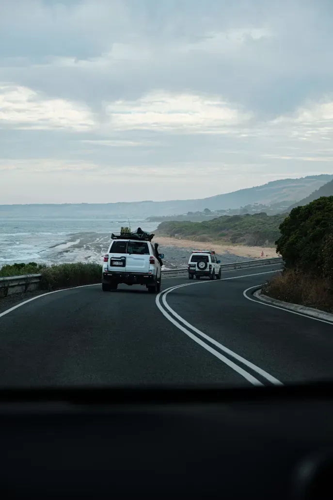
Route 01 · The classic coast run
Great Ocean Road Explorer
Australia's most famous touring road — surf towns, cool-climate rainforest and the limestone sentinels of the Shipwreck Coast, all in one long weekend.
VIC
Join to pin routes to your passport, then stamp them by checking in along the way.
Create your accountDay by day
The itinerary
-
Day 1:Surf coast warm-up
Torquay Lorne 47 km
Bells Beach lookout, then the cliff-hugging run into Lorne. Short day on purpose — pick a beach and stay on it.
Bells BeachPoint AddisTeddy’s Lookout -
Day 2:Rainforest and the Bay
Lorne Apollo Bay 45 km
Waterfall detours through the Otways — Erskine Falls is ten minutes off the road and worth an hour. Fish the jetty at dusk.
Erskine FallsKennett River koala walkApollo Bay jetty -
Day 3:The Shipwreck Coast
Apollo Bay Port Campbell 98 km
Over Lavers Hill and out to the Twelve Apostles. Go at first light and you’ll have Loch Ard Gorge nearly to yourself.
Maits Rest rainforest walkTwelve ApostlesLoch Ard Gorge
Plan it right
Good to know
The line is a straight join between waypoints, not the driving track. Navigate with official maps and road signs on the ground.
- 1 Torquay
- 2 Lorne
- 3 Apollo Bay
- 4 Port Campbell
VIC
Year round · quietest Apr–Nov
Sealed or well-kept roads. Any vehicle, any experience level.
Leave no trace: pack it in, pack it out, fill your holes. And tell someone your plan before you lose bars.
Before you go
Safety & preparation
This route is editorial guidance, not a substitute for current, official information. Conditions in the outback change fast. Always check the official sources below before you travel, and be ready to change or abandon the plan if the weather, roads or your gear turn against you.
Review date not recorded Treat these notes as indicative and verify everything against official sources.
Official sources to check
- VicRoads / VicTraffic: road conditions & closures
- Parks Victoria closures & safety: park alerts & closures
- Bureau of Meteorology warnings: weather, flood & fire
- AMSA beacon registration: register a PLB/EPIRB before remote travel
These point at government landing pages and can move. Confirm you're on the current official site before you rely on any of them.
Plan & pack for it
- Permits & access. Some sections cross Aboriginal land, pastoral stations or parks that need a permit or pass. Check requirements and carry them.
- Seasonal closures. Year round · quietest Apr–Nov is the usual window; roads, gorges and campgrounds close outside it and after rain. Never drive past a road-closed sign.
- Water, fuel & food. Carry more than you think you need and plan every fuel stop. Remote services are far apart and can be shut without notice.
- Comms. Mobile coverage is patchy to none out here. Carry a satellite messenger, sat phone or registered PLB, and leave your route and return time with someone reliable.
- Vehicle & recovery. Easy tourer grade. Sealed or well-kept roads. Any vehicle, any experience level. Carry recovery gear and know how to use it.
- Water crossings. Assess depth and flow on foot only where it's safe to, watch another vehicle cross first, and turn back if you're unsure. Northern waterways can hold crocodiles. Stay well clear of the water's edge.
- Emergency. Call Triple Zero (000) in an emergency; where there's no signal, try 112 from a mobile or activate your PLB / satellite messenger.
Your location & privacy. Saving this route only pins it to your Adventure Passport. It doesn't track or share your location. Earning a region stamp or checking in at a field day is optional and records only that you attended, never your live position. The map above plots the published route only; it never uses your device location.
Run it as a member
Members get partner rates on gear, fuel and stays, field days along routes like this one, and an Adventure Passport that keeps the score.
Live along the way
On this route
Nothing matched along this route yet. Browse every member offer and upcoming events in the meantime.